
Protected areas represent more than the 60% of the regional territory where 18 wild areas such as Natural Monuments, National Parks, National reserves and even a Marine Park, offer the opportunity to explore and marvel this vast land.
Cabo de Hornos National Park
Located in the Magallanes and Antarctica Chilena region, in Antarctica Province, Cabo de Hornos (Cape Horn) National Park stands out for the protection of wildlife species such as leopard seals, dolphins, whales, sea lions, chungungo, elephant seals, southern dolphins and Chilean dolphins. Among the birds are the Dominican seagull, the Giant Petrel and the Albatross.
It has 58.917 hectares and includes the group of the Wollaston Islands and Hermite Islands, located at the southern tip of the American continent, with an altitude that does not exceed 220 meters, except for the Pyramid hill, located at Cape Horn (406 meters).
As for its vegetation, it is characterized by being low and dense, with a predominance of peatland. In addition, the forest is characterized by the presence of coigüe (Nothofagus dombeyi) and canelo (Drimys winteri), with small sectors where leñadura (Maytenus magellanica) and ñirre (Nothofagus antarctica) are found.
Part of the surface of this unit has been declared as “Cabo de Hornos” Biosphere Reserve and it is 12 hours navigation from Puerto Williams.
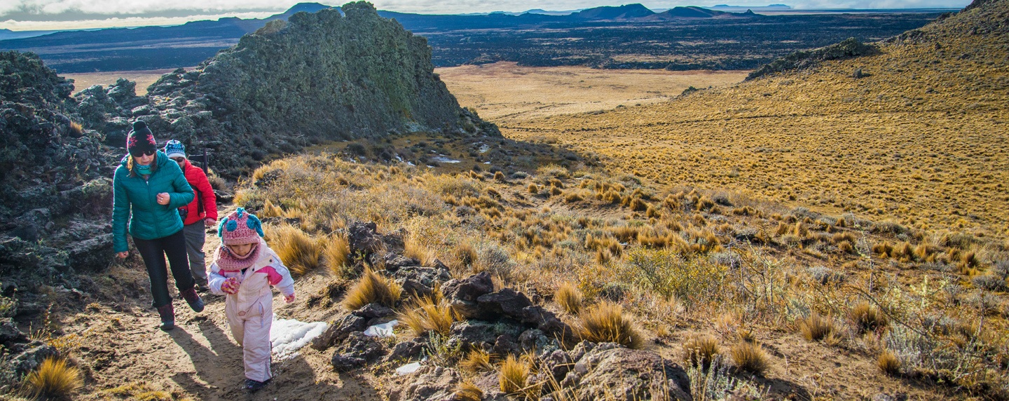
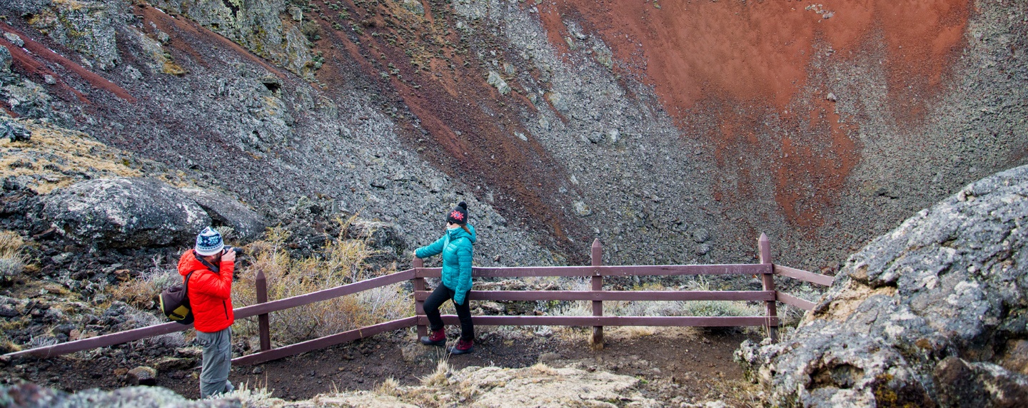
Pali Aike National Park
Pali Aike was declared a National Park on October 23, 1970 and is located 196 Km (122 miles) northwest of Punta Arenas on the international route CH-255, the road to the Monte Aymond border crossing in the Magallanes Province. At kilometer 168/mile 104, take the detour, and drive 16 miles on the gravel road to arrive to the park.
One of its main attractions is the Pali Aike cave, where archaeological remains of more than 11 thousand years have been found inside. The Tehuelche people called this area «the desolate place where the devil dwells”.
You may also visit Laguna Ana, to observe Chilean Flamingos, and all over the place are commonly seen Skunk, Grey Fox, Culpeo Fox, Armadillos and Guanacos among others.
It is also possible to visit the “Morada del Diablo” crater, where its landscapes show similarities with the lunar landscape. Low-rise volcanic cones, caves, various craters, basalt walls and lava slags tell the story of recent eruptions.
It is a paradise for geologists, volcanologists and anthropologists.
Francisco Coloane Marine Park
Ready for the encounter of the largest mammal on the planet? Francisco Coloane Marine Park is located in the Province of Magallanes, south of Punta Arenas and is the only place in the southern hemisphere where Humpback whales (Megaptera novaeangliae) feed off the white continent. With an area of 67 thousand hectares, it is the first marine park in Chile and the most important feeding place for Humpback, Sei and Minke whales. Keep in mind that you can visit it only with local tour providers and that the whale watching season is from December to April.
At the Marine Park it is also possible to observe from the sea a Magellanic Penguin Colony that nests in between the forest, Pilpilen Austral (Magellanic oystercatcher), Sea Lions, Austral Dolphins, Petrels, Albatross, Gaviotín Antártico (Antartic Tern) among others.
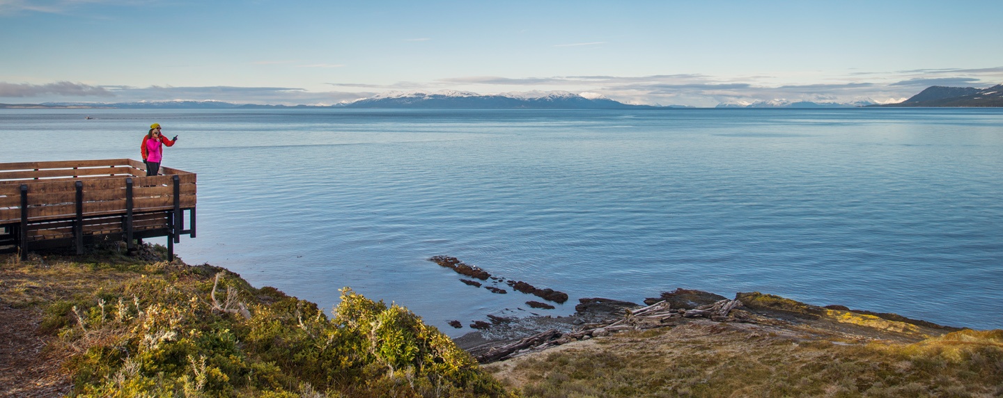
Magallanes National Reserve
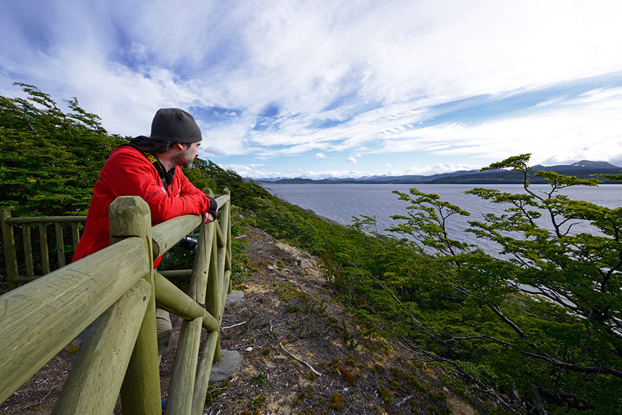
If you are in search of the best panoramic view of the Strait of Magellan, this reserve is the right place. One of the attractions of the Magallanes reserve is that it is very adapted for the family visit since there are a large number of sites for picnics and camping.
Extreme caution must be taken with the indications to prevent wild fires. It also has more than 60 kilometers of interpretive and excursion trails, such as the Section of the Chilean Trail called Bocatoma, South Limit of the Magallanes National Reserve. In addition to that, it has a trail for tourists with reduced mobility and a trail of flora, for those who wish to marvel at the variety and beauty of the vegetation present in the place.
It has 21.180 hectares and is located very close to Punta Arenas depending on the chosen entrance.
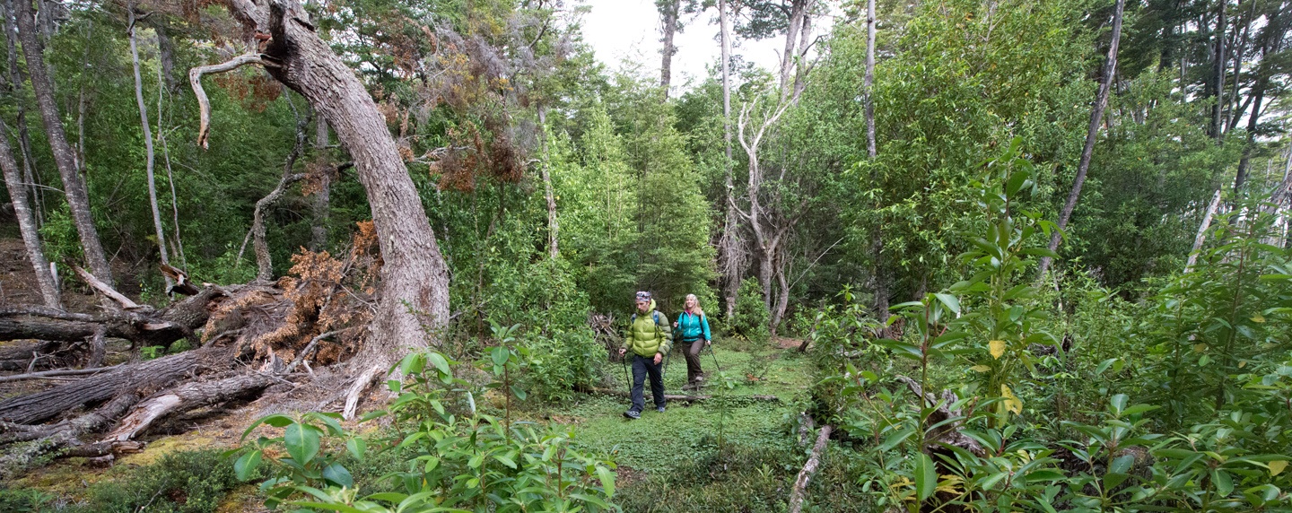
Parrillar Lagoon National Reserve
This reserve is located 52 Km south of Punta Arenas and was created in April 22, 1977. It has 18.414 hectares and one of its main characteristic its great variety of flora and fauna. In addition, it has areas enabled for camping, picnic sectors, and hiking trails.
It is possible to observe species like the Huemul (Chilean Deer), peuquito (Bicolored hawk), Pumas and the Carpintero Magallánico (Magellanic Woodpecker). Juarjual duck, Tagua – Tagua, Shoveler duck, wild geese, becacinas, tiuques, huairavos, hualas. Likewise, within this same period of the year it is recurrent to observe Culpeo Fox.
Alberto de Agostini National Park
This park is located south of Punta Arenas and west of Puerto Williams. It covers an area of 1,460,000 hectares that extends through 3 provinces of the XII Region: Magallanes, Tierra del Fuego, and Chilean Antarctica.
It is located 80 nautical miles southeast of Punta Arenas, and the navigation between Punta Arenas and Puerto Williams passes through the Beagle Channel, which is part of the park. Another way to get to the park is by air from Punta Arenas to Puerto Williams and then continue by sea.
The name of the park is associated with the Salesian priest Alberto De Agostini who in 1910 undertook the mission of exploring the channels of the Fuegian archipelago. Agostini was a mountaineer, excellent explorer, documentary filmmaker and draftsman of the Cordillera de Tierra del Fuego. He explored the island of Tierra del Fuego for three decades, generating the largest number of photographic and cartographic records that had been until that moment in the south of Patagonia. Through the work of Agostini, Patagonia became known in much of the world.
As for the fauna, species such as the culpeo fox, chilla fox, leopard seal, dolphins, whales, sea lions, elephant seal, southern dolphin, and Chilean dolphin, in addition to 49 species of birds, both terrestrial and marine can be found.
 1-6 days
  -
-  Basic-intermediate
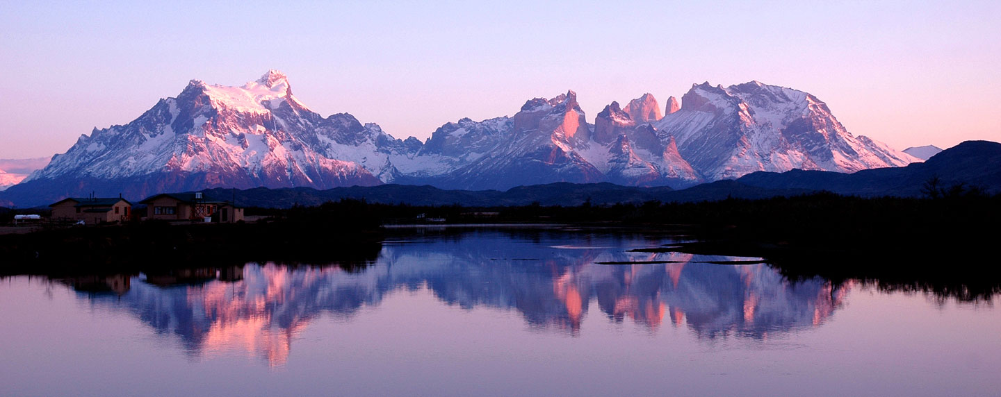
 Torres del Paine National Park
Torres del Paine National Park, is one of the most visited destinations in our country, with a landscape with unparalleled peaks, blue lakes, deserted pampas and rivers full of icebergs.
It has an area of 242,242 hectares, with an altitude ranging from 200 to 3,050 meters (Macizo Paine). It has 4 accesses: Porterías Sarmiento, Laguna Amarga, Laguna Azul and Río Serrano (Administrative Headquarters Sector). Laguna Amarga and Serrano entrances are the most important ones.
It has varied fauna such as pumas, guanacos, and foxes, without specifying the more than 100 species of birds such as condors, caiquenes, austral parakeet and Magellanic woodpecker among others.
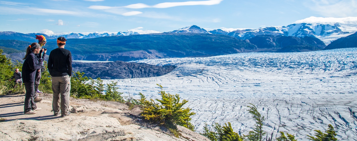
You may hike and trek in the trails, navigate, kayak or enjoy a horseback riding in Patagonian style through the pampas. Marvel at Lake Grey and navigate until you reach its impressive glacier, one of the icons of this Biosphere Reserve. There are several lookout points and treks and hikes that can be done, we highly recommend:
Here are some of the must-see activities that you should consider:
W Circuit
This is the most popular trekking circuit of the park, is very important that you plan your trip in advance and make reservations, as is not allowed people without reservations to do the trek.
You can do it by yourself or through an adventure company that will make all the arrangements for you.
The W trail runs through the most important landmarks of the Paine Massif in Torres del Paine National Park. Through the valley of the Ascencio River you can access the base of the towers, then head towards Lake Nordenskjöld to reach Los Cuernos sector. The trek continues along the path to the French Valley and then to Paine Grande sector where the trek to Grey Lookout point to see the Grey Glacier begins
Difficulty: medium high
Length: 76 km
Duration: 4 to 5 days
Macizo Paine Circuit
This circuit, which includes the W, begins at the visitor center of the Cerro Paine reserve, then continues north to reach the Serón sector. When bordering the Paine massif in its northern part, the encounter is with Lake Dickson and the John Gardner Pass, the highest point on the circuit, with 1,241 meters height and a privileged view of the Southern Patagonian Ice Field, with impressive suspension bridges. The path subsequently joins the W circuit at the Grey viewpoint.
In this trek you will have the possibility to admire places that are not possible to observe unless you trek this marvelous circuit such us: Dickson lake and Glacier, Los Perros Glacier and the Southern Patagonian Ice Field, where you will observe some of the mountains and ice tongues that conform the icefield.
Difficulty: medium high
Length: 134 km
Duration: 7 to 10 days
This is without a doubt the more challenging trek in the park, so previous experience is recommended. It is very important that you plan your trip in advance prepare your equipment and make reservations, as is not allowed people without reservations to do the trek.
You can do it by yourself or through an adventure company that will make all the arrangements for you, it is highly recommended to do it accompanied.
Bernardo O´Higgins National Park
It is the largest national park with more than 3.525.000 hectares and protected wildlife area in Chile, and one of the largest in the world. It is mainly made up of canals, islands and extensive ice surfaces, shaping irregular topography and extreme weather conditions. Its glaciers stand out, all of great volume and density. Vestiges of the Kawésqar or Alacalufe ethnic culture can be found.
Administratively corresponds to the communes of Tortel and Puerto Natales. The unit stands out for the protection of wildlife species such as huemul, sea lions with one and two hairs. Among the birds are the imperial cormorant, condor, eagle and cahuil seagull. As regards flora, green trees always dominate, such as the Magellan coigüe, güaitecas cypress and canelo.
It is surrounded by the P.N. Laguna San Rafael, Los Glaciares (Argentina) and Torres del Paine NP, and the R.F. Alacalufes. Undoubtedly, one of its main attractions is the Pío XI glacier, which gives off blocks of ice of approximately 30 floors. The wall that forms is approximately 75 meters high and when falling forms waves of more than ten meters high.
Kawésqar National Park
Initially created under the name ‘Alacalufes National Reserve’, it was created on July 22, 1969 and protects an area of 2,331,875 hectares. It is located in the province of Ultima Esperanza, commune of Natales and in the province of Magallanes, communes of Punta Arenas and Río Verde, in the Magallanes Region. Its northern limit coincides with the limit between the regions of Aysén and Magallanes. The only way to travel is by sea.
This reserve is part of the southern Patagonian archipelagic region, which has a landscape of low mountainous islands, not exceeding 1000 meters high, with numerous canals and fjords. The relief of the Channels region is the product of several factors that modeled its torn physiognomy.
It is an extremely rainy sector and rainfall in some sectors can reach 3 thousand millimeters per year. The northern area of the park has a cold temperate climate with high humidity with an average annual temperature of 7.2 degrees Celsius.
In contrast, the southern area has an isothermal tundra climate, with a slightly lower annual average temperature: 6.5 degrees Celsius. The cold and high humidity climatic conditions, together with the presence of thin and poor soils, generates in this reserve a type of vegetation characterized by the presence of peat bogs and a slightly diverse tree stratum.
In the most northern sectors, the dominant tree species are the Cypress of the Guaitecas, the Coigüe de Chiloé and the Coigüe of Magallanes, with the presence of some bushes where we can find “nalcas”, ”mata verde”, “calafate” and large areas of peat bogs.
This park is rarely visited due to the difficulties that access means, both due to climatic and geographical characteristics. In addition, it should be considered that it is far from populated centers. The only way of access is by sea from Puerto Natales by hiring tours in the agencies, since there are no regular trips.
OTHER PARKS
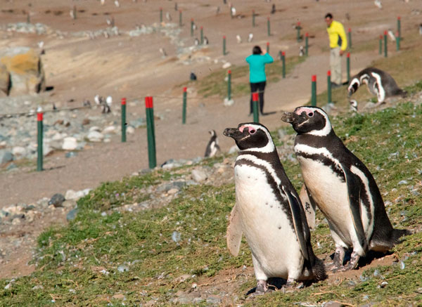
Pingüino Rey Park (King Penguin Park)
In Bahía Inútil (Inútil Bay) sector is located one of the most important attractions in the island: the only colony of Pingüino Rey in South America. The park promotes the conservation and protection of both Pingüino Rey as the wealth of vegetation, fauna and archaeological sites in Bahía Inútil, giving life to a conservation project based on three fundamental pillars: research, education, and sustainable tourism.
It is very important to maintain the habitat of these birds walking only on established paths and thus protect the state of wildlife in which they develop.
It is located 114,5 km from Porvenir (1.5 hours)
How to get there: From Porvenir follow Route Y-71 and travel 100 km, towards the Onaissin Crossing. Then you must take Route Y- 85 to Cameron on the right and travel 14.5 km.
Karukinka Natural Park
If you move to the south of the Tierra del Fuego island, you will find the Karukinka natural park, a private reserve and conservation model for the biodiversity of Tierra del Fuego. It is the starting point to get to know some of the best attractions in the island such as the Blanco, Despreciado, Deseado and Fagnano lakes.
Karukinka is a private natural park where you can observe near peatlands, andean areas, patagonic estepa, thickets and coastal, representative ecosystems of the austral biodiversity and the subantartic region. There is no public transportation to access the park directly. The most recommended is to lease a vehicle in Punta Arenas or to contract a transport service.
Even though Patagonia can be enjoyed in every season of the year, we recommend your visit between October and April, in the middle of spring in this hemisphere, more sunny days and less rain, therefore more activities to do.
Always use official transport and ask for arrival and departure times in the designated area.
Always follow the instructions of park rangers so you may enjoy your trip: do not use fire in unauthorized places and do not go out from demarked trails to avoid accidents.
You can only camp in places authorized by the park administration. The trip must be planned in advance, because all campsites require prior reservation.

In Magallanes province, kayaking in the waters of the mythical Strait of Magellan.
discover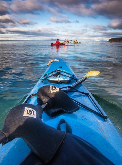

Without a doubt, Chilean Patagonia in Magallanes Region is the best place in Chile fo...
discover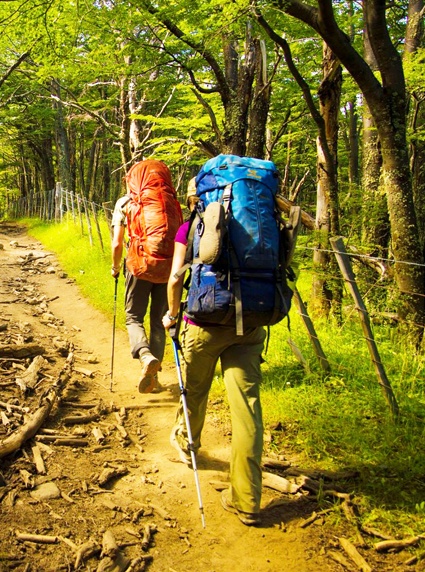

Fishermen from all over the world visit the rivers and lakes of Chilean Patagonia to ...
discover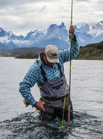

In this activity, you can go over the trees of the Patagonian forests and feel nature...
discover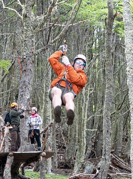

In the Chilean Patagonia in Magallanes and Antarctica Region you will find one of the...
discover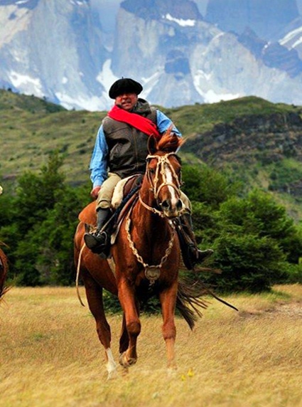

Are you prepared to discover the rich flora and fauna of the southernmost place on th...
discover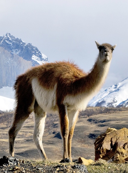

In Antarctic waters you may find many whale species, such as: minke, blue, humpback, ...
discover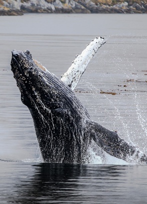

Come and discover the Patagonian fauna, especially its unique variety of birds.
discover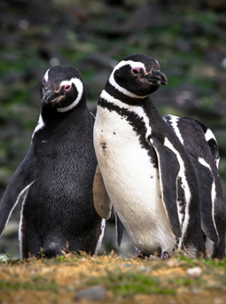

Protected areas represent more than the 60% of the regional territory where 18 wild a...
discover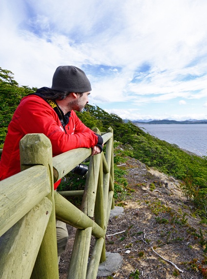
Most of the Estancias are still working in hands of local families and some have star...
discover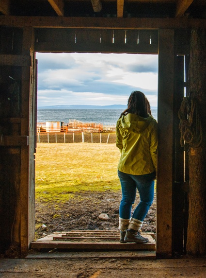

In Patagonia, you can find various tourist attractions to take a walk and learn about...
discover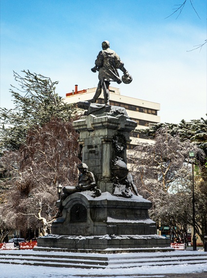

In Chilean Patagonia, everything seems bigger, more intrepid and more challenging.
discover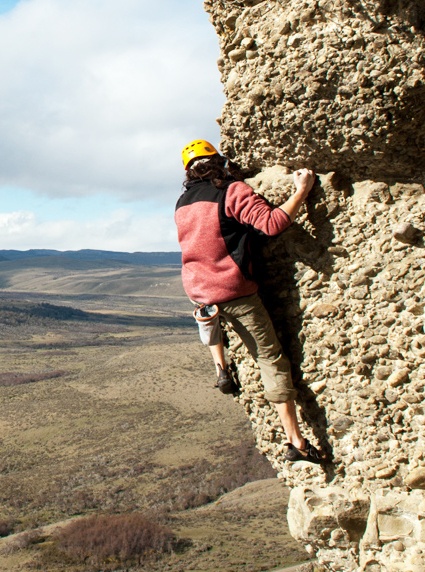

A dive in the extreme south? The Strait of Magallanes has remarkable stories of shipw...
discover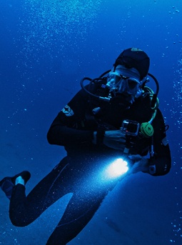

There are plenty of alternatives to explore and get to know Magallanes Region by sea....
discover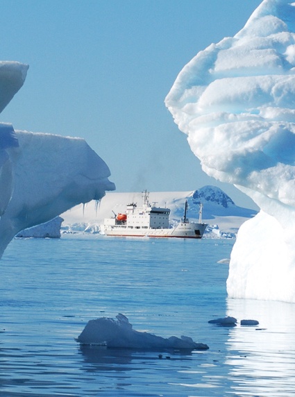

The city center of Punta Arenas is full of life every day with stores, handicraft sto...
discover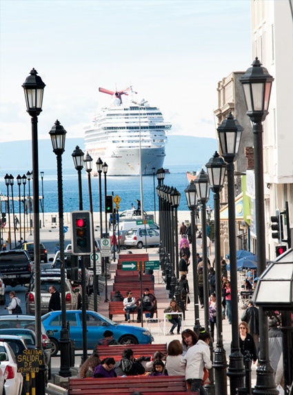

Enjoy a pleasant atmosphere and last generation games surrounded by the impressive Pa...
discover

The southernmost region of Chile has a great offer to enjoy an unforgettable gastrono...
discover

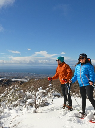
If you travel to Magallanes in the middle of the winter season, you can practice this...
discover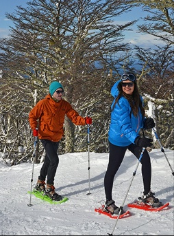

The landscapes of Patagonia are designed for cycling enthusiasts. High-speed descents...
discover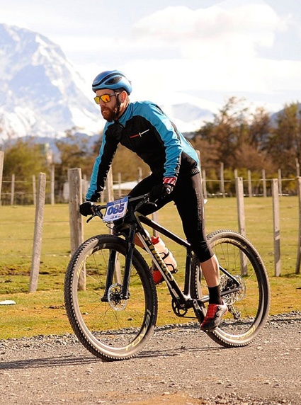

Región de Magallanes y Antártica Chilena Official Site | FAQ